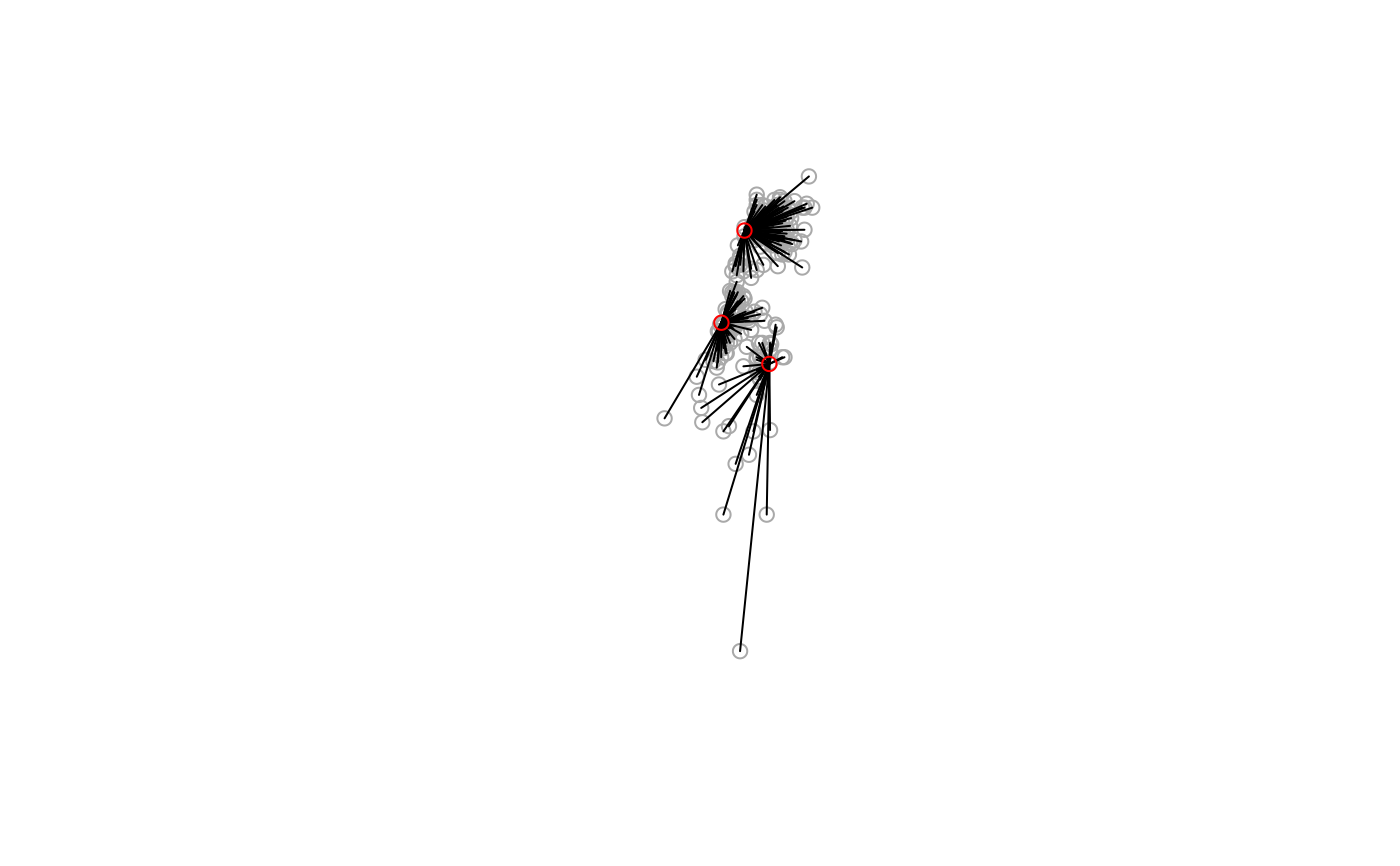
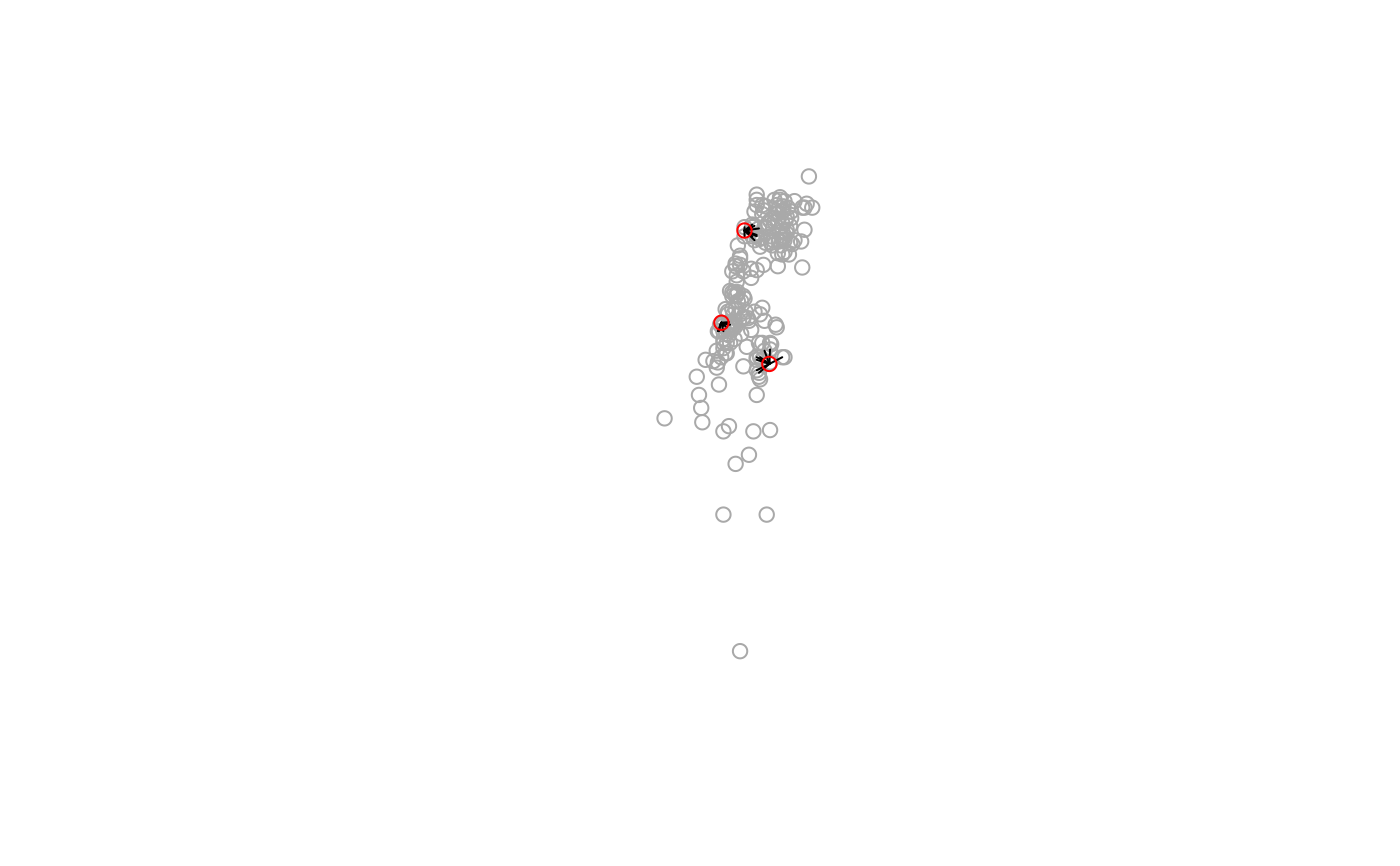
Returns a line layer with line segments which connect the nearest feature(s) from y for each feature in x. This is mostly useful for graphical purposes (see Note and Examples below).
st_connect(x, y, ids = NULL, progress = TRUE, ...)Arguments
- x
Object of class
sforsfc- y
Object of class
sforsfc- ids
A sparse list representation of features to connect such as returned by function
st_nn. IfNULLthe function automatically calculatesidsusingst_nn- progress
Display progress bar? (default
TRUE)- ...
Other arguments passed to
st_nnwhen calculatingids, such askandmaxdist
Value
Object of class sfc with geometry type LINESTRING
Note
The segments are straight lines, i.e., they correspond to shortest path assuming planar geometry regardless of CRS. Therefore, the lines should serve as a graphical indication of features that are nearest to each other; the exact shortest path between features should be calculated by other means, such as geosphere::greatCircle.
Examples
# Nearest 'city' per 'town'
l = st_connect(towns, cities, progress = FALSE)
#> lon-lat points
plot(st_geometry(towns), col = "darkgrey")
plot(st_geometry(l), add = TRUE)
plot(st_geometry(cities), col = "red", add = TRUE)


# Ten nearest 'towns' per 'city'
l = st_connect(cities, towns, k = 10, progress = FALSE)
#> lon-lat points
plot(st_geometry(towns), col = "darkgrey")
plot(st_geometry(l), add = TRUE)
plot(st_geometry(cities), col = "red", add = TRUE)


if (FALSE) {

# Nearest 'city' per 'town', search radius of 30 km
cities = st_transform(cities, 32636)
towns = st_transform(towns, 32636)
l = st_connect(cities, towns, k = nrow(towns), maxdist = 30000, progress = FALSE)
plot(st_geometry(towns), col = "darkgrey")
plot(st_geometry(l), add = TRUE)
plot(st_buffer(st_geometry(cities), units::set_units(30, km)), border = "red", add = TRUE)

# The 20-nearest towns for each water body, search radius of 100 km
water = st_transform(water, 32636)
l = st_connect(water[-1, ], towns, k = 20, maxdist = 100000, progress = FALSE)
plot(st_geometry(water[-1, ]), col = "lightblue", border = NA)
plot(st_geometry(towns), col = "darkgrey", add = TRUE)
plot(st_geometry(l), col = "red", add = TRUE)


# The 2-nearest water bodies for each town, search radius of 100 km
l = st_connect(towns, water[-1, ], k = 2, maxdist = 100000)
plot(st_geometry(water[-1, ]), col = "lightblue", border = NA, extent = l)
plot(st_geometry(towns), col = "darkgrey", add = TRUE)
plot(st_geometry(l), col = "red", add = TRUE)

}